![]()
![]()
![]()
Daley Ranch, Escondido
January 17, 2002
Daley Ranch was once slated to become a bunch of houses, condominiums and a golf course. I know this because I was involved in the early planning and design stages many years ago in a different life. Many times back then I drove the various trails and dirt roads that traversed the ranch trying to figure out how in heck this land could ever be developed. Not that there wasn't developable land, there was just no good way to get to it with roads and utilities that would have been necessary to support the density of the proposed development.
There is a lot more to the story, but in 1996, the City of Escondido acquired the property for public use. This was the first time I have visited the site in about ten years and it is still a great piece of property, but now the dirt roads are biking, hiking and riding trails, set aside forever (I hope) for all of us to enjoy.
Guess what? Dummy me forgot to check to see if my digital camera had a memory card in it and guess what else? It didn't! So all I have to show for a great day of hiking is this map below which is a fat (350KB) file that shows the route of my hike and the names of the trails I was on. There are many more trails than these, so next week I will go back, WITH my camera and memory card, and do some more hiking and take some photos. If any of you hikers and bikers have not been to Daley Ranch, you better go check it out. It's great!
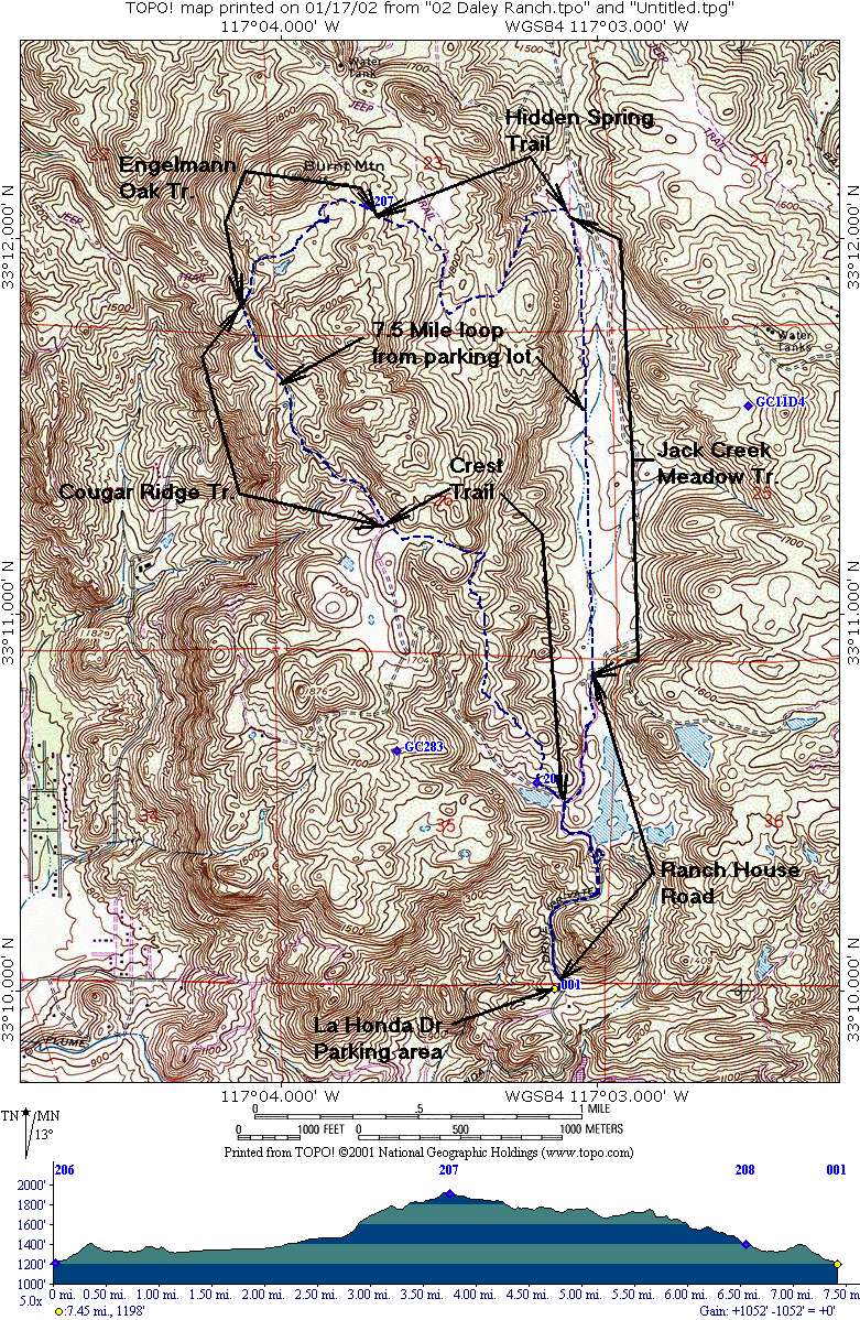
I've added a full map of the Daley Ranch which shows the approximate Ranch boundary. This file is over 500KB but it may come in handy if you're planning on going out there.
Click here to see it.
January 31, 2002, Daley Ranch Revisited!
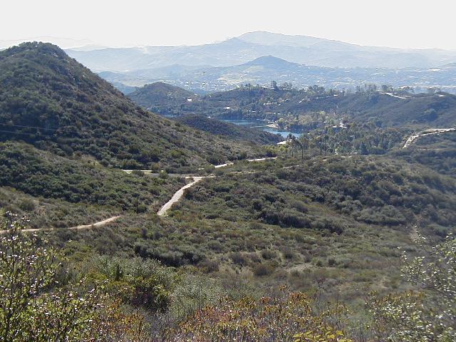
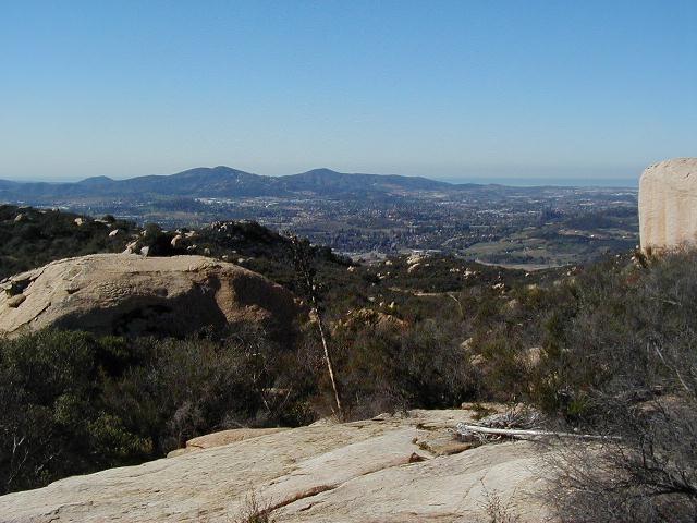
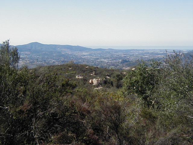
By popular demand, I went back out to DR and took some photos. It was a crisp clear day in Escondido and you could see the ocean from the ridges of the Ranch. Here they are in the order taken.
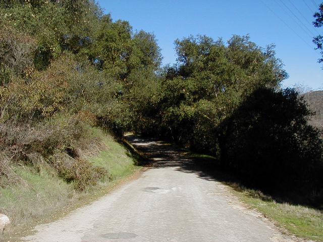
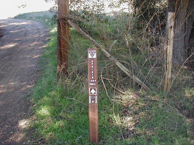
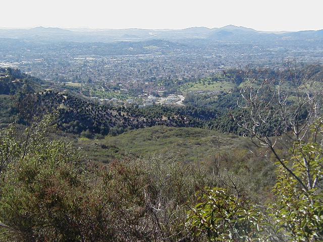
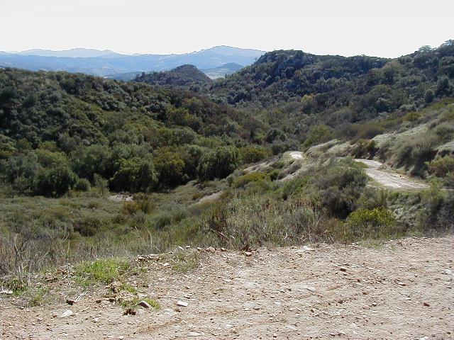
The paved road heading north toward the Ranch House; the sign for Boulder Loop Trail, which I hiked; a view form the trail
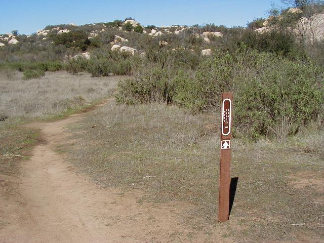
Looking toward Lake Dixon & Mt. Woodson; the sigh for Rock Ridge Trail, which I hiked; Looking toward Palomar.
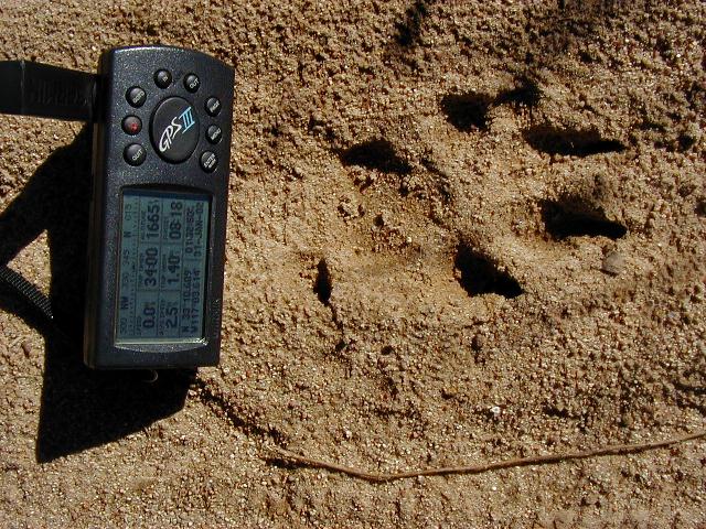
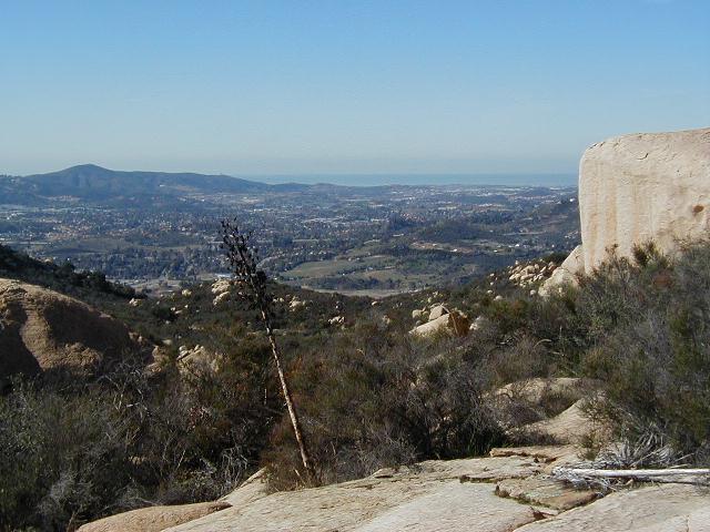
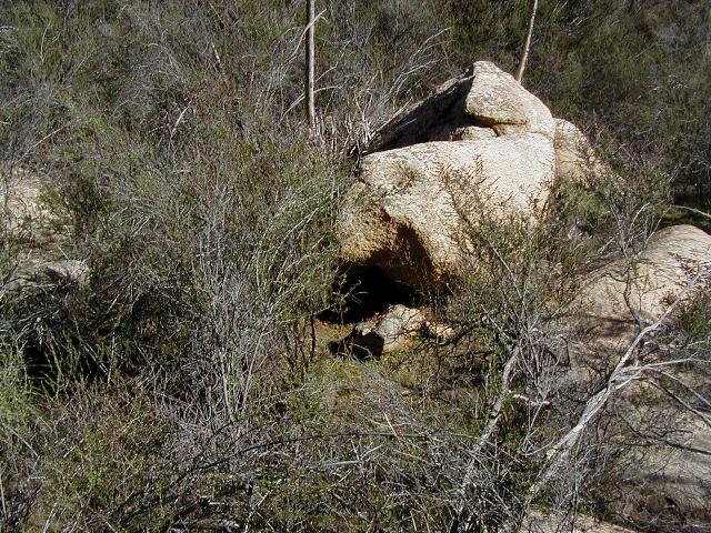
My GPS and the footprint of a huge mountain lion...or dog...or something; Ocean view; another ocean view.
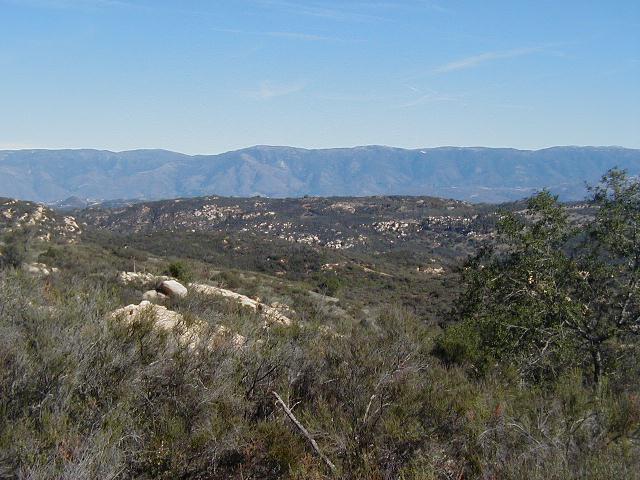
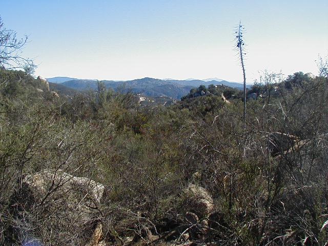
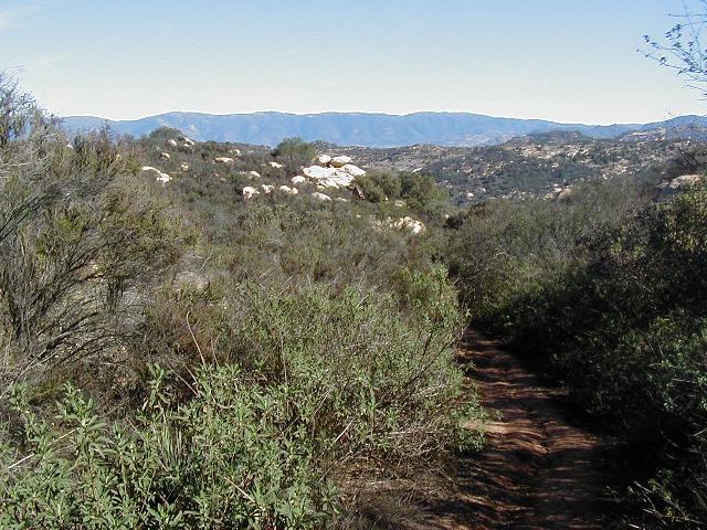
Looking toward Palomar again; view with Cuyamaca Peaks in the background; a view of the area near GC283, San Diego Chupy 2, which of course is not there anymore.
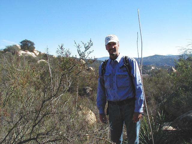
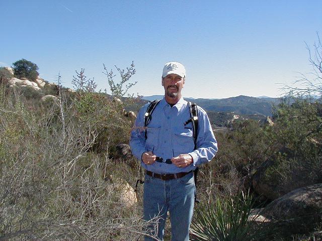
Photos of the Geocacher.
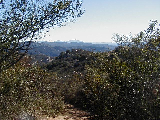
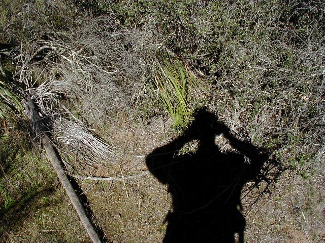
On the left is where I think the Cache may have been. It was removed a while ago by the Ranger. The middle photo is another ocean view and on the right is a view looking down the trail.
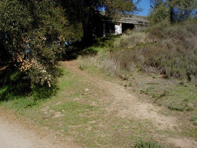
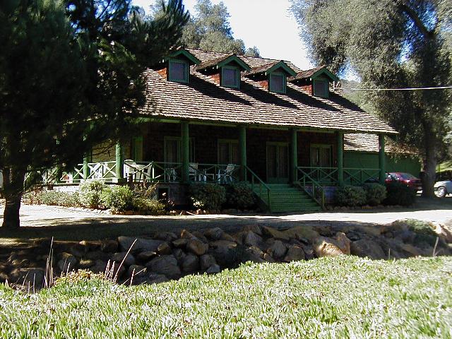
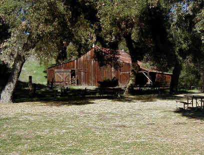
The "old" homestead; the Ranch House and the barn. Yes the barn.
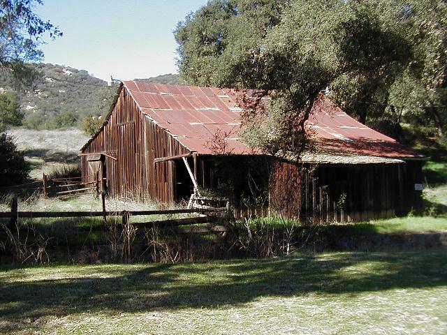
The Barn.
The End.