

Martha's Grove, Sycamore Canyon Preserve
GCD7F, July 17, 2001
Carmel Mountain Ranch
GCBAB, July 17, 2001
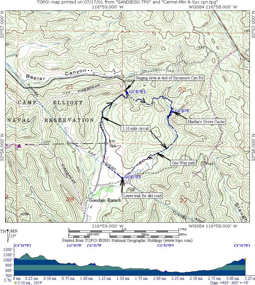
I've been meaning to visit these two Caches for a while now since they are so close to my Scripps Ranch abode. I started with Martha's because I figured it would be cooler there earlier in the day. Parking at the staging area at the end of Sycamore Canyon Road, I followed Jnglkat's advice on the Cache Page and set off clockwise on the Martha's Grove Trail.

I was a little taken aback that the sign read "remote and rugged trail ahead ride or hike with a partner". Looking around, I didn't see any likely partners so I decided to go it alone, as usual. It was a very nice trail, neither too remote nor rugged. The loop was just about 3 miles although my GPS logged 3.16 miles because of my walking around trying to find the cache. Below is a 250KB image of my GPS track and profile.
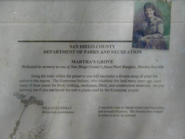


Martha's Grove is named after Martha Harville, a park ranger. There is a plaque (left) and a monument in the grove along with a couple benches and some nice shade, not to mention all the poison oak you could ask for. The cache is not too hard to find if you read the hint. I found to coordinates to be off 40 feet or so.
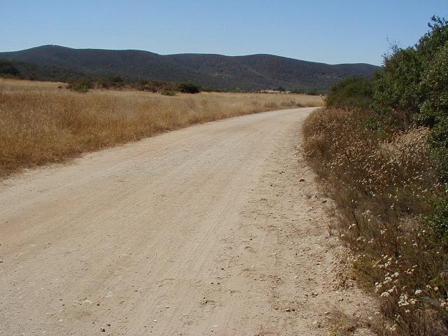

Above are a couple shots of the Preserve. I never cease to be amazed at the number of beautiful areas easily accessible from our urban habitat. This was another one.
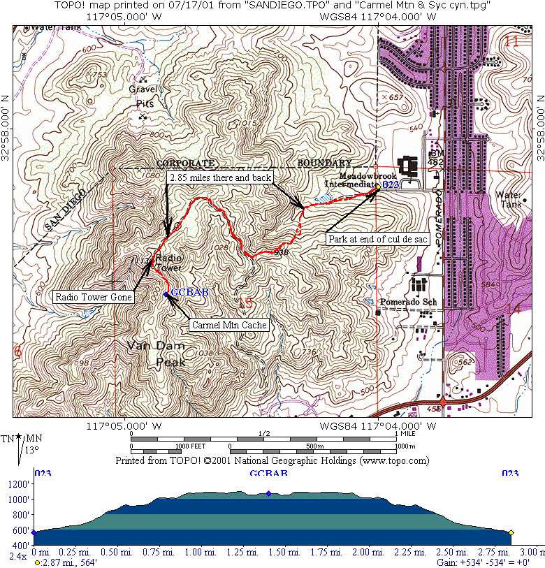
Oddly enough, to get to the Carmel Mountain Cache, you go to Poway and park at the end of a short cul de sac off Pomerado Road. From there you hike westerly up an old road that leads you to the foundation of an old radio tower still shown on the quad sheet. If you stay on the main road/trail, you get a good 2.8 mile up and down hike with only a few areas where the trail is washed out and you need to watch your footing. Once on the ridge, the views are great and the cache is easy to find if you use the cheat. The image below is around 250KB and shows my GPS track and profile.


Here is the cache and another headless Stork holding it.
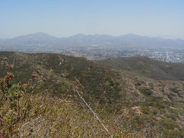


From left to right: a view of Mt. Woodson and Iron Mountain; the dead yucca (look near it for the cache) with Black Mountain; the radio tower foundation looking southwesterly toward I-15; a view of Carmel Mountain Ranch looking northerly along I-15.
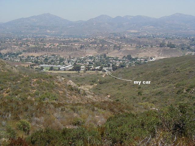
Here is a view of the parking area and my car!
This was another great hike except that it's obviously a well-used area with a lot of trash. I didn't pass any migrant camps, but I believe they are there too. No single Geocacher could make a dent in the trash on a single trip.