![]()
![]()
Elfin Forest Recreational Reserve
August 3, 2001
The doctor told me yesterday to refrain from jogging for another few days, (the frontal lobotomy was a success!) so what else was there to do but go for another hiking excursion? I went back to the Elfin Forest Recreational Reserve parking lot which I had visited earlier in the week, but this time, instead of crossing the street and heading north, I actually stayed in the Reserve (for the most part) and had a nice hike and found a couple Geocaches.
Here is where I went: Way up the Way Up Trail, Up the Quail Trail, past the Reserve boundary to Mt. Israel and the Mt. Israel Cache, then back the Quail Trail to the Equine Incline Trail, then all the way around the Equine Incline Trail, stopping at the Duibh Cat Rock Cache for lunch, then around the Me-xal Trail back the the Way Up Trail, which also turned out to be the way down trail! Here is what it looks like.

The day wasn't so clear but it was nice and sunny, not too hot with a good breeze. Here are some photos of the Geocaches.
Hidden nicely under a big rock with some other rocks on top, it was pretty easy to find, especially since my GPS took me right to it.


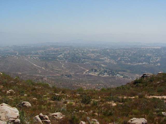
L to R: The Cache in its rock; Stork and the Cache; hazy view of Escondido
Here is where the cache is from the picnic area but don't go that way. Take the trail (Tyke's Hike) southerly until it bears easterly and look for an opening to turn west. Then swing back north along the saddle toward the Cache and you won't have to do any bushwhacking.

This one was in a great spot for a little R&R. So I took off my shoes and socks and had lunch.

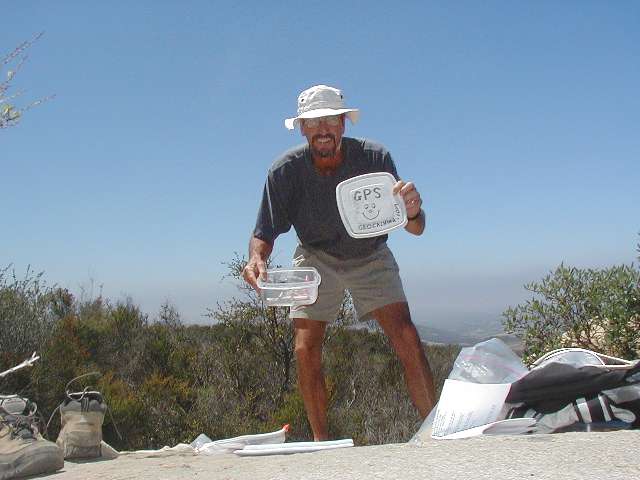

On the left is the Cache and my pack and my shoes and socks. In the middle is another self portrait with the Cache top, and on the right is my napping area.


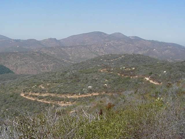
More hazy photos taken from the Cache: North toward Frank's and Mt. Whitney; West; South toward Ranch Cielo.
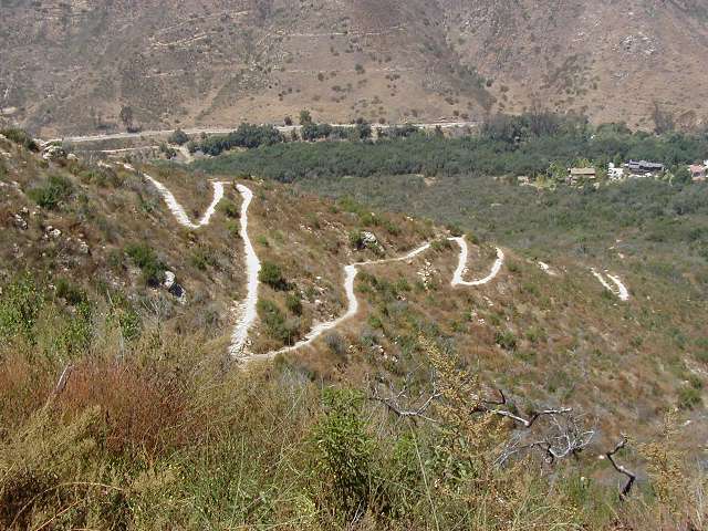
Total hike was about 6.8 miles on nicely maintained trails or maintenance roads. On the left is a view of the Equine Incline Trail and on the right is the Way Up Trail on the way down. This was a good area to hike and is dog, horse and bike friendly.