

Pyle's Peak
Mission Trails Regional Park
Pyle Driver Cache - GC1C94
September 13, 2001
When I checked Geocaching.com this morning looking for a place to hike, I was a little surprised to find that a new one had been set on September 11, a day none of us will ever forget. The cache is north of Cowles Mountain in MRTP in an area I had never visited so I decided to try for it. Upon finding the cache and reading the cache-hiders' message in the log book, I understood. They were seeking a quiet place to reflect upon and try to understand the day's events. This would have been a great place to be Tuesday afternoon in the quiet that followed the morning's chaos.
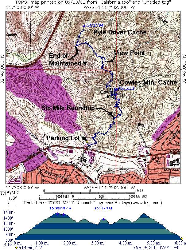
The hike was just about three miles from the parking lot off Gulfcrest Drive. When you get to the top of Cowles Mountain. you're halfway there. It was a good semi-strenuous hike with a lot of elevation change. Below is a topo and GPS track of the hike.
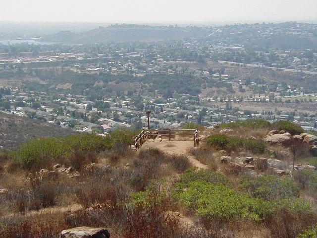
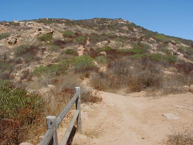
On the left is the overlook area at the end of the maintained trail. From there you go straight uphill toward the Cache as shown on the right. This was the toughest part of the hike.
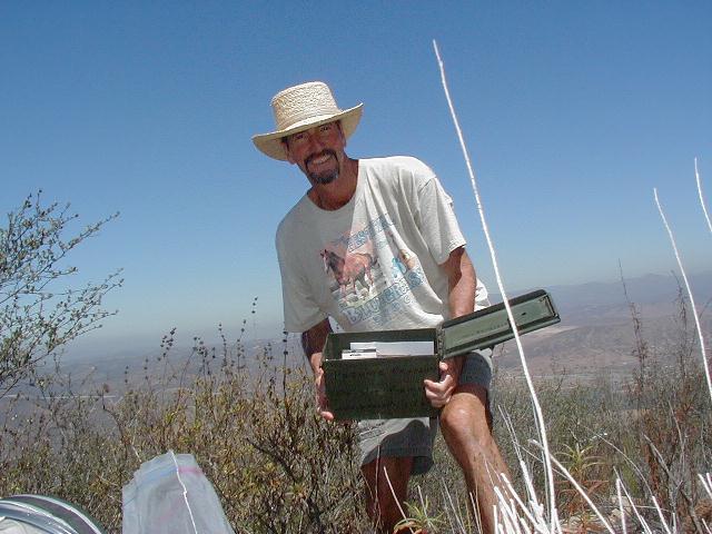
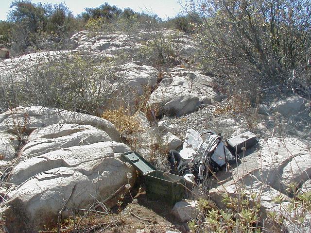


From left to right: Stork with the Cache, the Cache in the foreground looking up toward the Peak of Pyle's, a view toward North Fortuna Mountain, and a view toward the Cuyamacas, both taken from the Cache site.
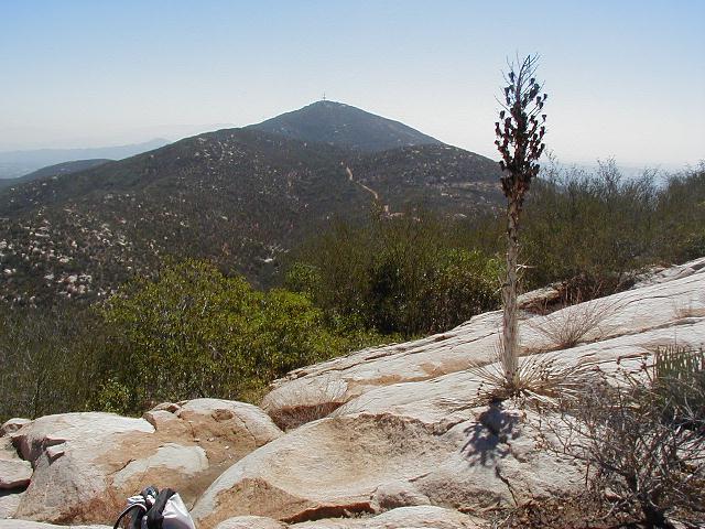
This is a view looking back at Cowles from the top of Pyle's Peak.

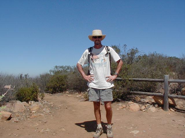
On the way back, I took a side trail that led to another overlook area. On the left you can see Cowles (again) and yours truly on the right.