


We left I-40 in Oklahoma City and headed north on I-35 toward Ponca City, Oklahoma, on the Arkansas River in the heart of Oklahoma's "Tall Grass Region". It also appears to be the Oklahoma Oil Region and the Osage Native American Region.
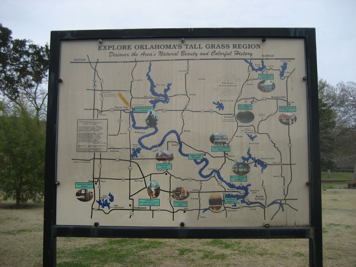
Here is a map of said regions.

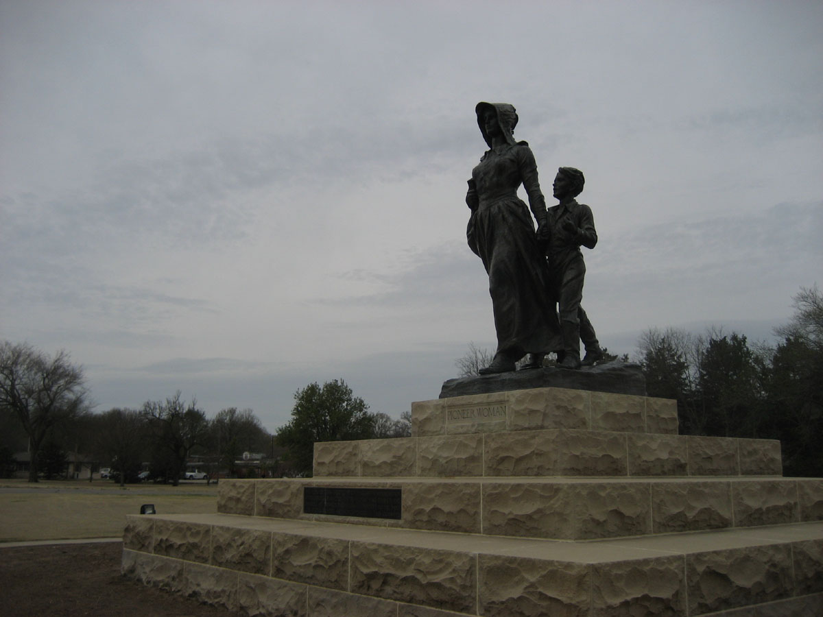

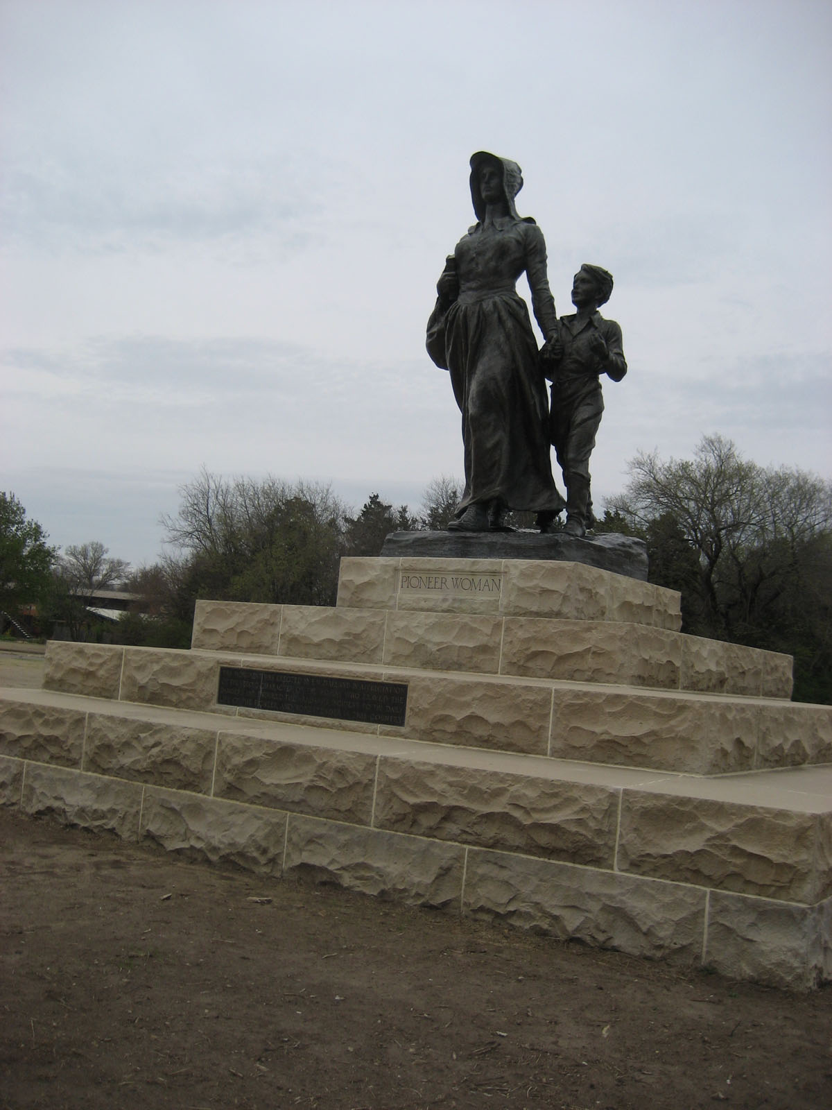

We headed east on US 60 and stopped at the Pioneer Woman Museum, dedicated to, you guessed it, the pioneer woman. This is a statue which represents all pioneer women. She's sturdy, determined, strong, independent, and sort of sexy in a pioneer woman statue sort of way.
I tried to get a decent photo of her but it was cloudy, windy and raining (still).
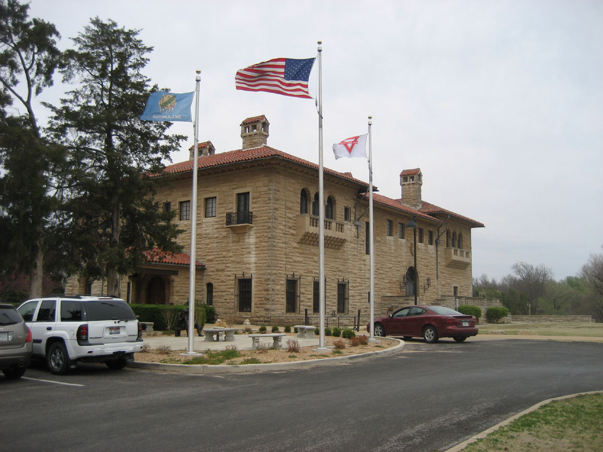
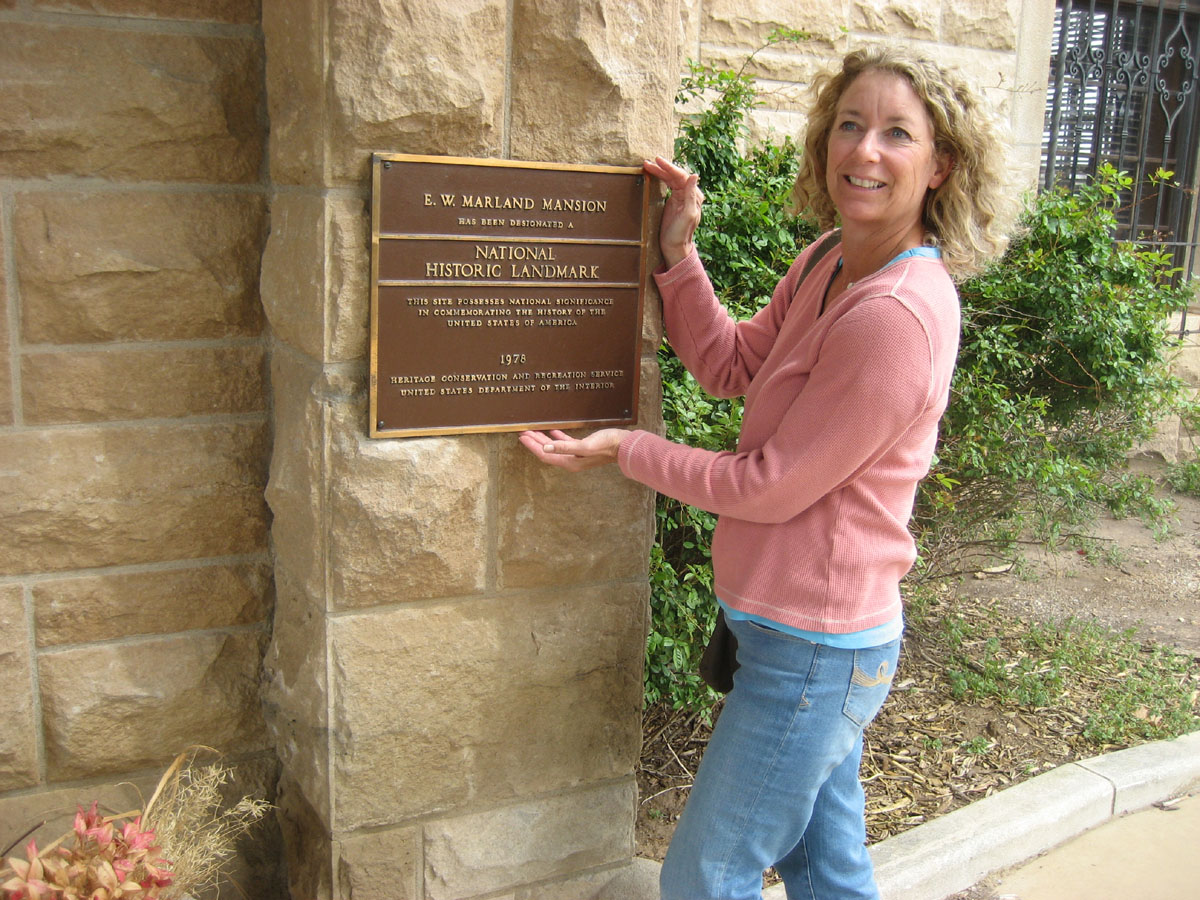
Next stop was the Marland Estate where the founder of Conoco Oil Company, E. W. Marland lived for a while in the 20's and 30's. There is about an acre of rooms under one roof and old E.W. lived an opulent lifestyle for a while.
Continuing east, we entered the Lands of the Osage Nation.

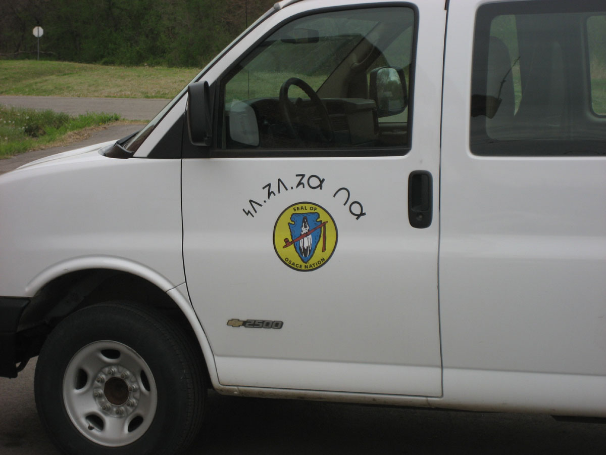

We never did find any Osage but we found one of their trucks. We also found some photos and information the next day at the home of Frank Phillips of Phillips Petroleum fame.


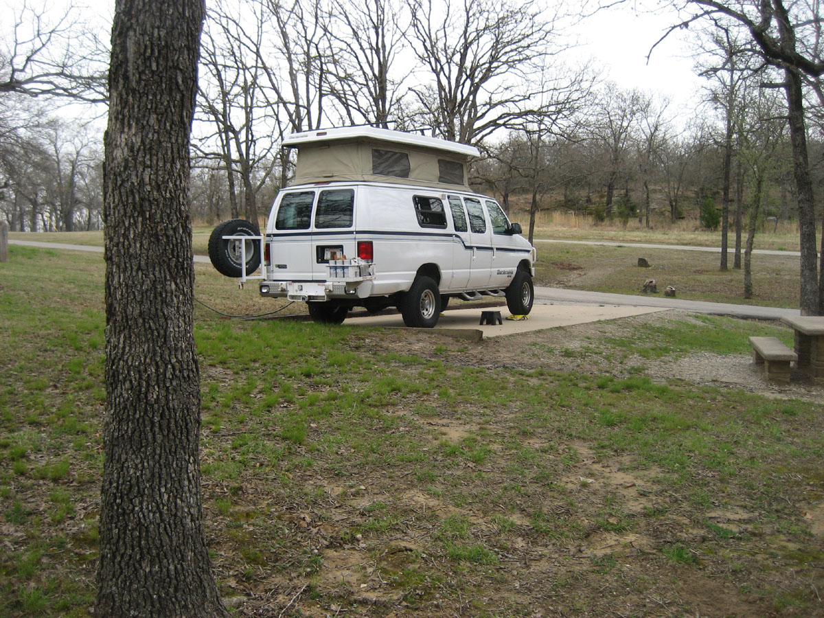
That night we camped at Osage Hills State Park, a few miles west of Bartlesville, OK. I should mention number 1, that it was still raining and number 2, that people in OK use the term "hills" loosely. Perhaps the were some hills in Osage Hills SP, but they were well-hidden.
Day 6, April 18, Saturday (199 miles, 1851 total)
Today we passed through the former oil capital of Oklahoma, Bartlesville, the home of Price Tower the only "high rise" Frank Lloyd Wright ever designed, pictured below.


We had a nice private tour (we were the only visitors) of the Frank Phillips Home. Frank started his career as a barber and ended up an oil man and founder of Philips Petroleum. He had a streak of drilling 81 straight gushers.


Poor old Frank's house.
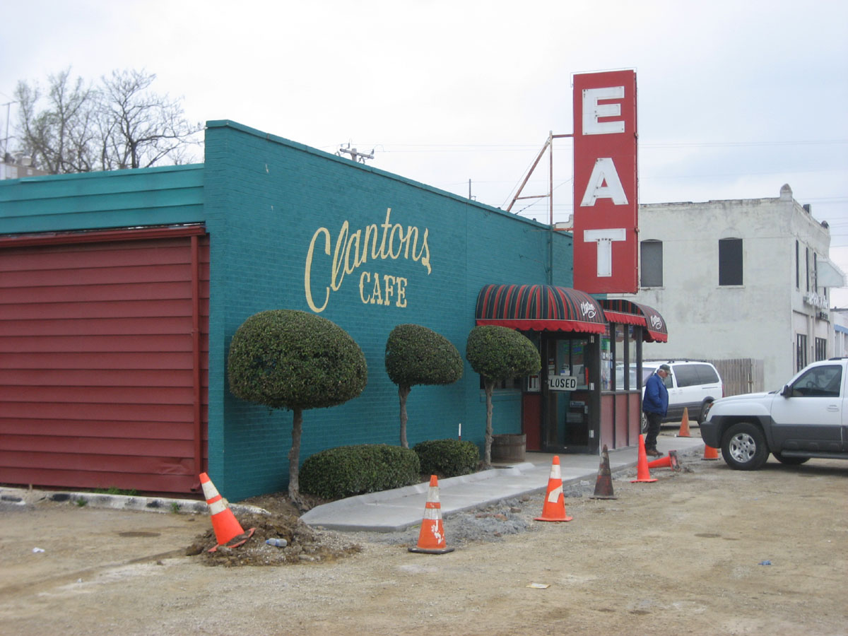
We had lunch at this place which allegedly has been featured on "Dives, Diners, etc." It's been run by the Clanton family for three or four generations, according to the menu.
Day 7, Sunday, April 19 (212 miles, 2063 total), Day 8 & Day 9 (0 miles)

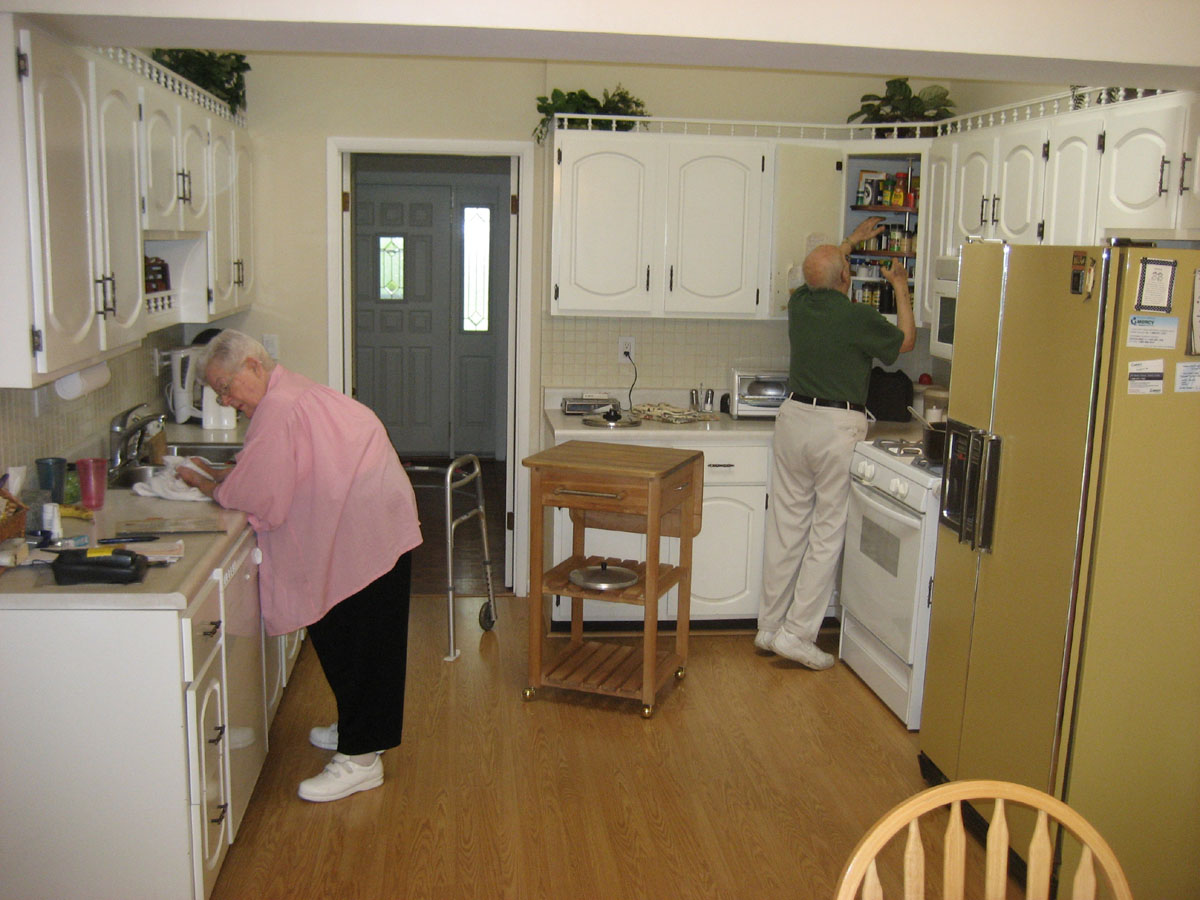

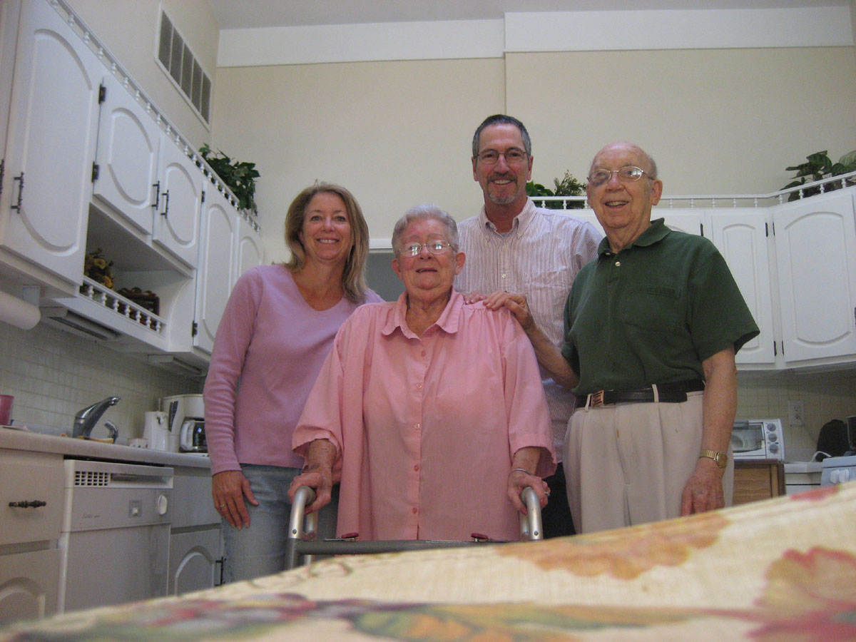
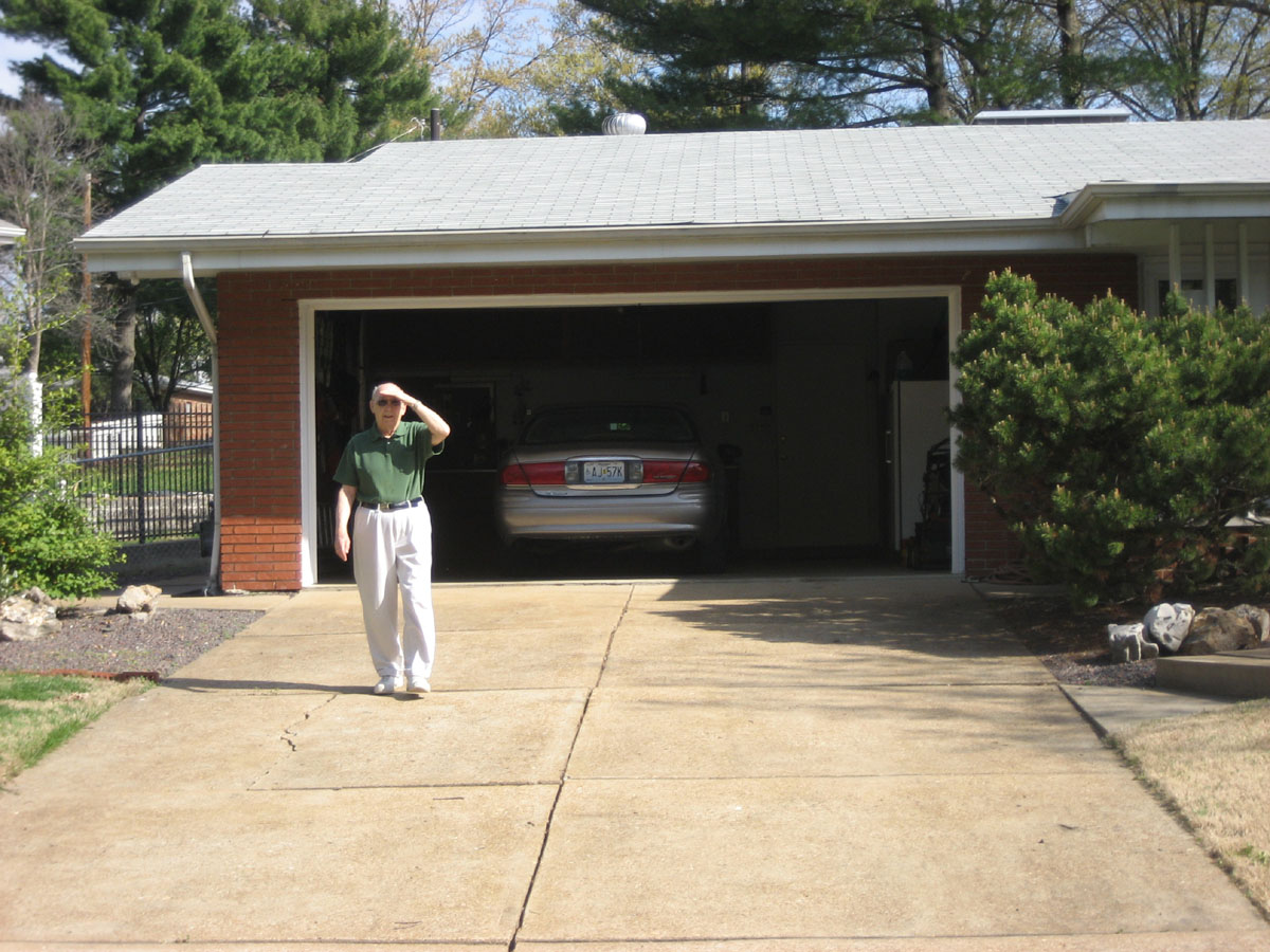
We stayed in a Best Western in Springfield, MO, on Saturday night, mostly to spread out a little, check our email and get prepared for a three-day stay and Lorri's parents home in St. Louis. We had a nice visit with them and finally, the rain stopped. We had been traveling in rain, off & on, since Amarillo.
Day 10, Wednesday, April 22 (172 miles, 2235 total)

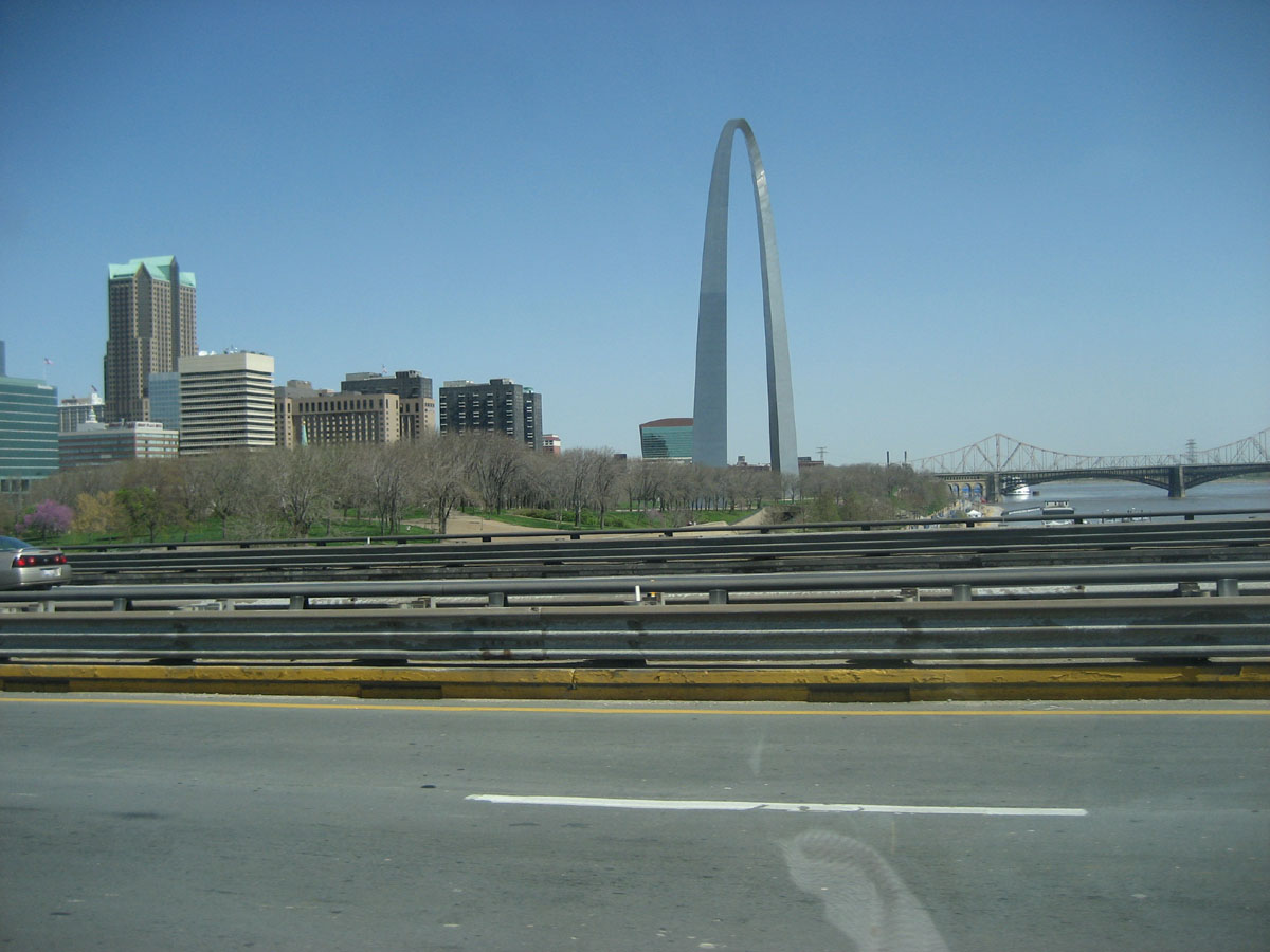

We left the in-laws and started toward Cleveland, taking a couple of out-the-window shots of the Arch as we hurtled eastward across the Mississippi River.

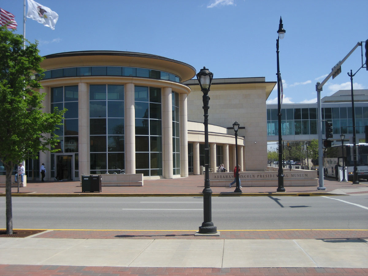
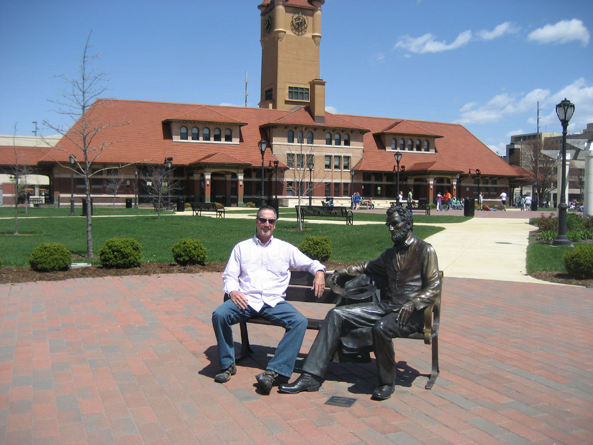
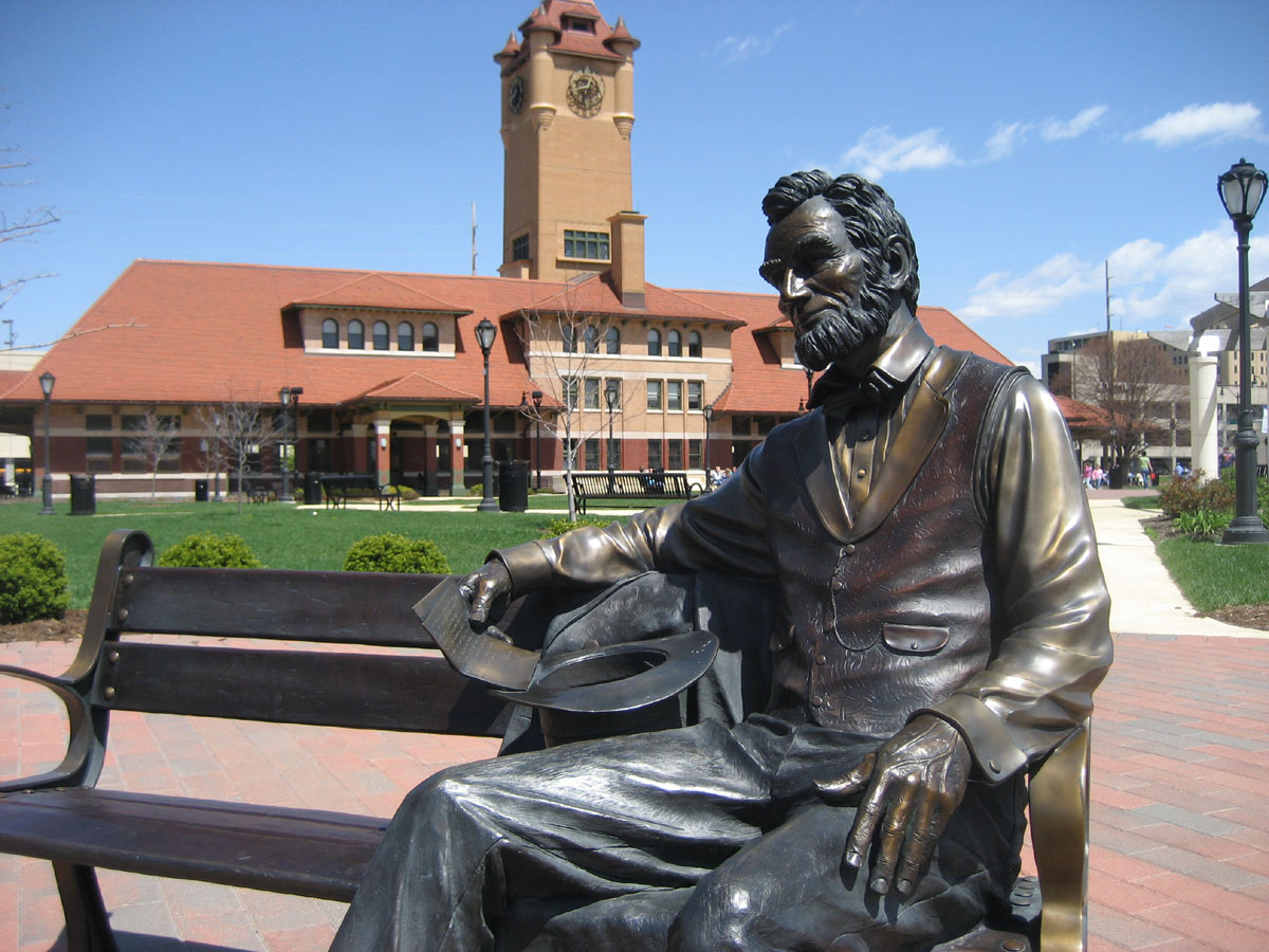
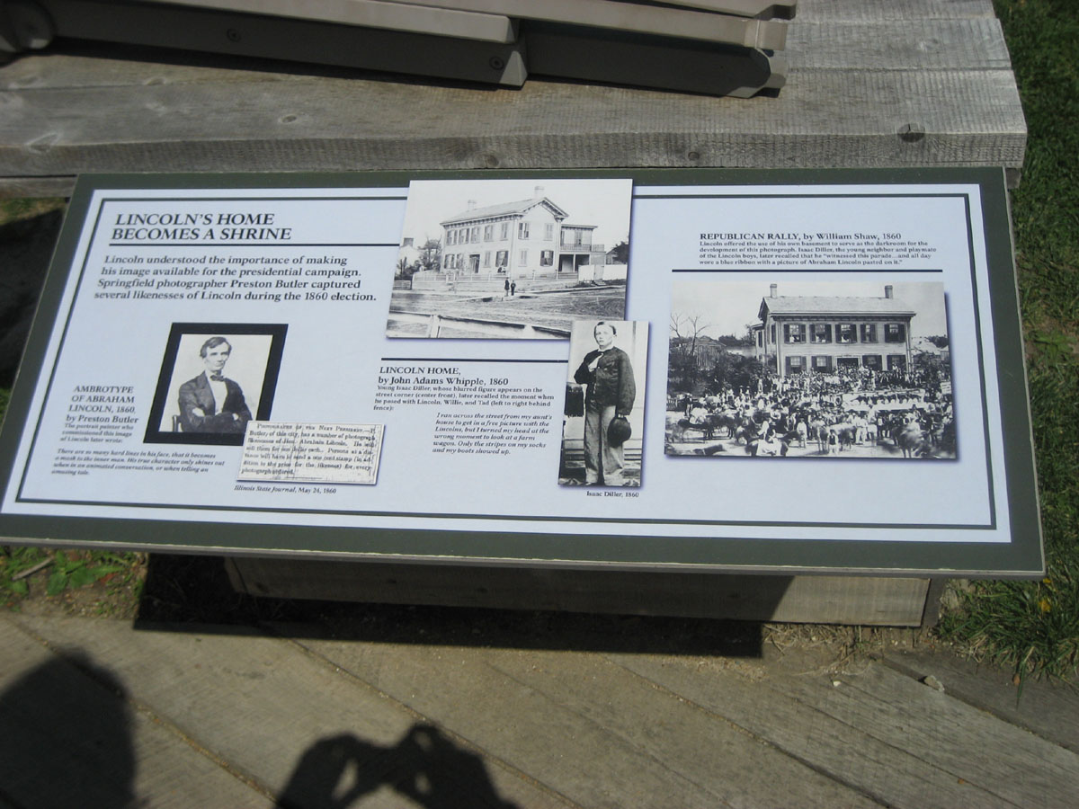
Once into Illinois, we went north on I-55 to Springfield, the City of recently turned 200 years old, Abe Lincoln. From left to right we have Lorri and Abe, the Presidential Museum, Jack & Abe, and just Abe.


We had lunch at some pub called "The Alamo" then happened to pass by the National Museum of Surveying, about the only building we saw in Springfield that didn't have something to do with Lincoln. Except that, as all us surveyors know, Lincoln was a surveyor at one point in his career. Unfortunately, the Museum was not to open for another month or so.


Here is Aunt Lorri cranking out more squished pennies for nieces Ashley and Sara's extensive collections.


Then it was off to the Lincoln Home National Historic Site, Abe's old neighborhood. Abe's house in in the photo on the right.


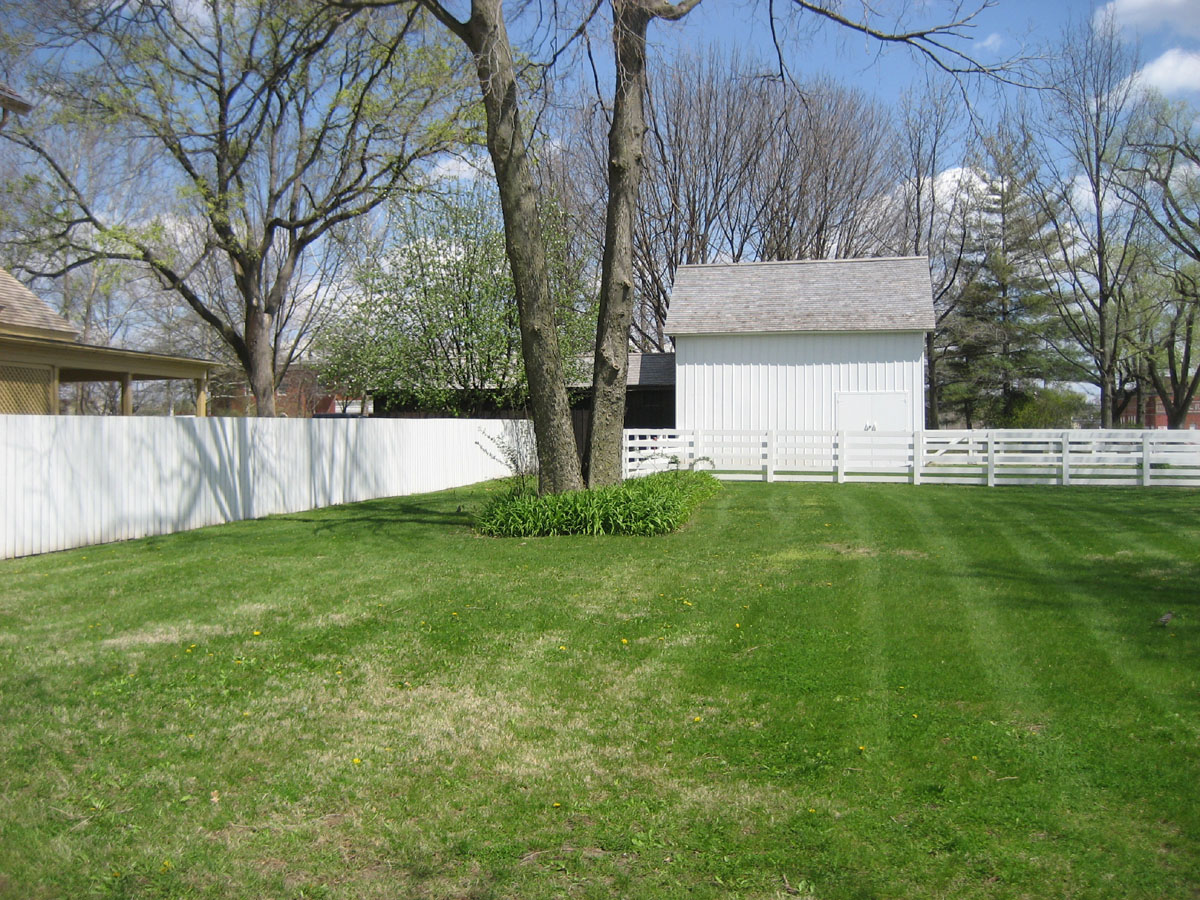

The Arnold House is across the street.


Lorri walks the planks and more Lincoln House photos.
Some interesting stuff.


Above are photos of the "Circuit Rider" a Lincoln-themed motorcycle. It seemed sort of odd to have it displayed at the National Historic Site Visitor Center, but there it was.
From Springfield we took State Route 54 northeasterly toward Champagne. we stopped for the night at Weldon Springs State Park, Clinton, IL. It was a very nice State Park with a lake, trails, ducks and all sorts of stuff.


Our camp site: large, medium, small.
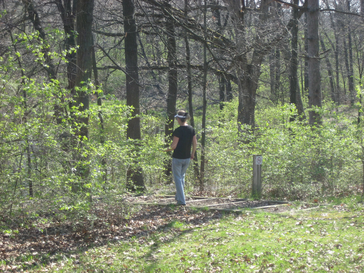


Lorri going for a hike.


Lorri relaxing after her hike.

Lorri hiking again.

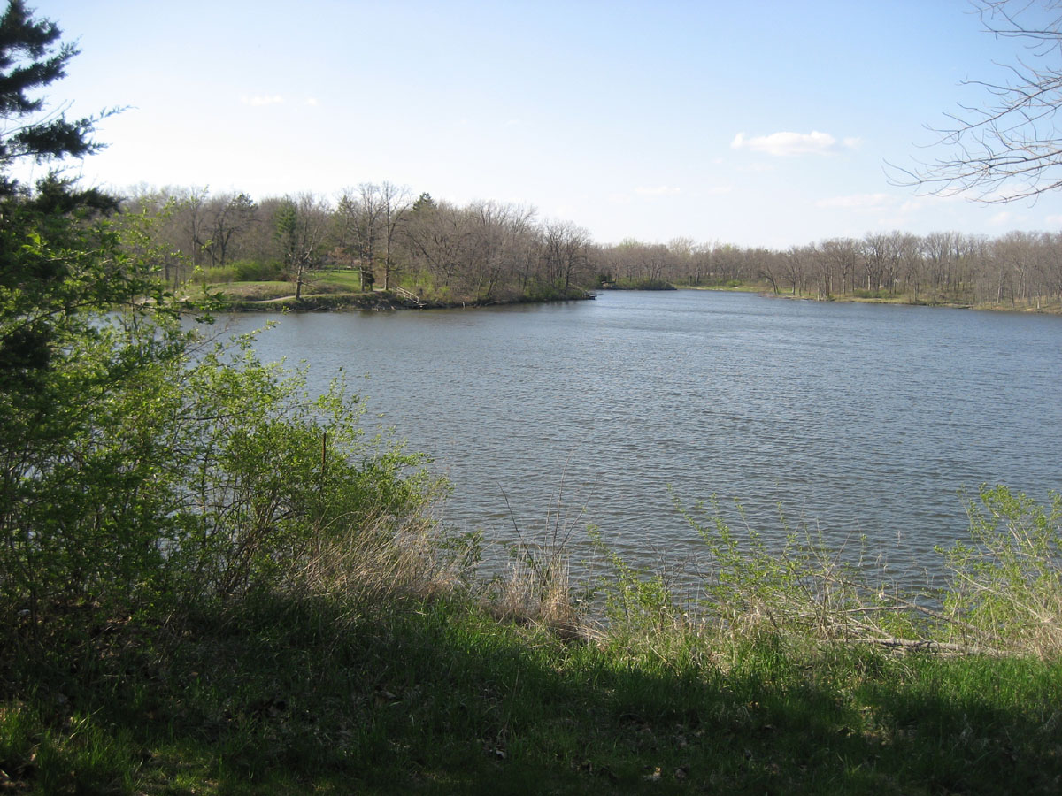

A duck, or maybe a goose, balancing on one leg, the lake, Veterans Point.

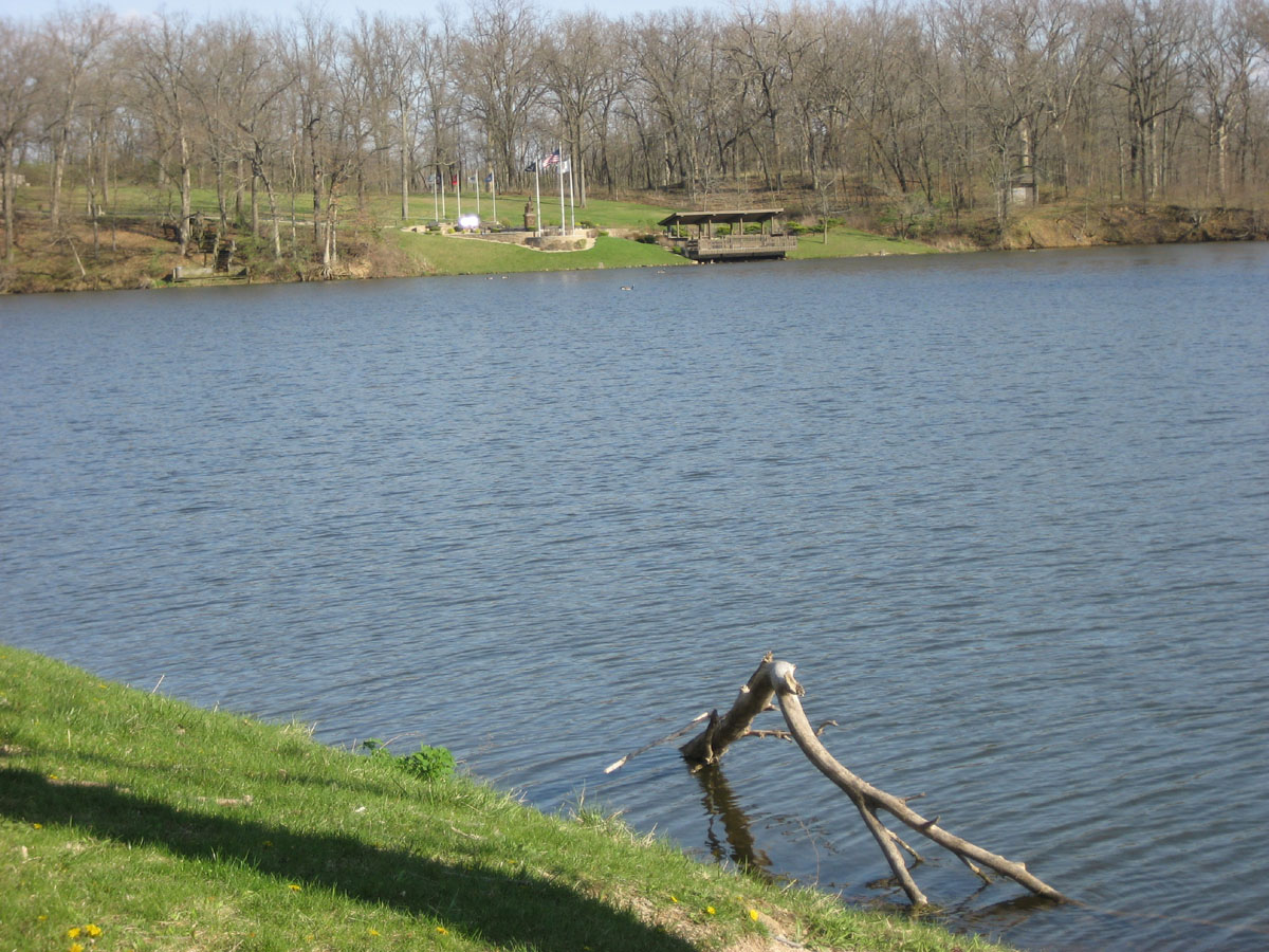
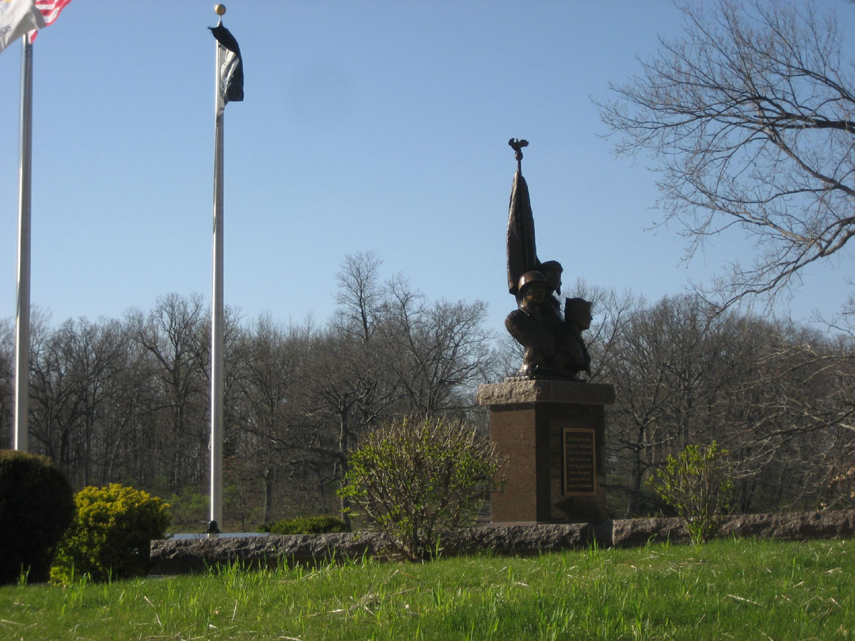
Lorri with the famous chain-saw art work, the lake again with Veterans Point in the background.
Day 11, Thursday, April23 (322 miles, 2557 total)
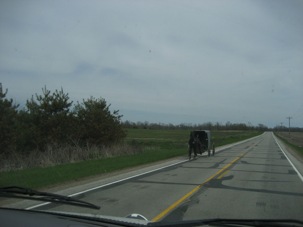
As we crossed into Indiana, we noticed a sign warning of Amish horse and buggies and, sure enough, a few minutes later we saw one.
We spent some time exploring various cemeteries in Fountain County looking for Lorri's ancestors' gravesites. We found quite a few and took a lot of photos of them. Lucky for whoever looks at this web page I won't post them here.
We made our way to Ouabache (pronounced "Wabash") State Park, Bluffton, Indiana


It was an OK place except the shower water smelled like rotten eggs. For the second night in a row we were able to sit outside and enjoy mother nature (and our cocktails), for only the third time since leaving San Diego.
![]()
![]()
![]()